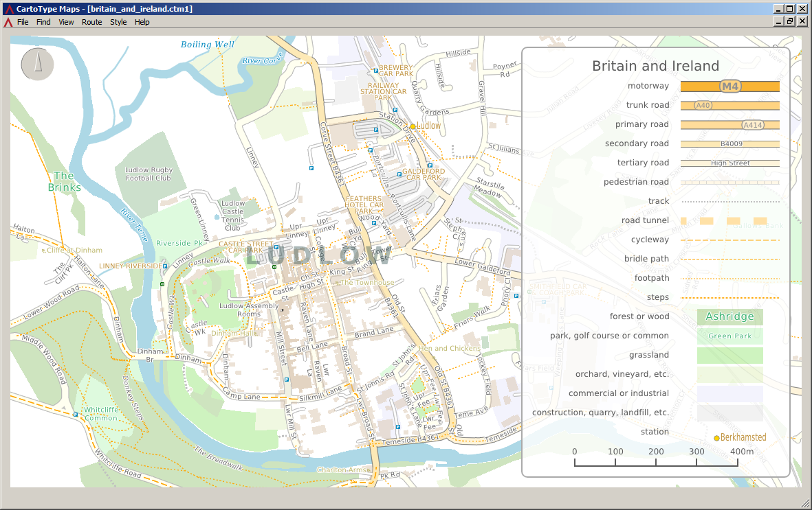
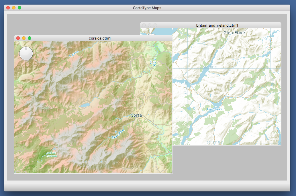
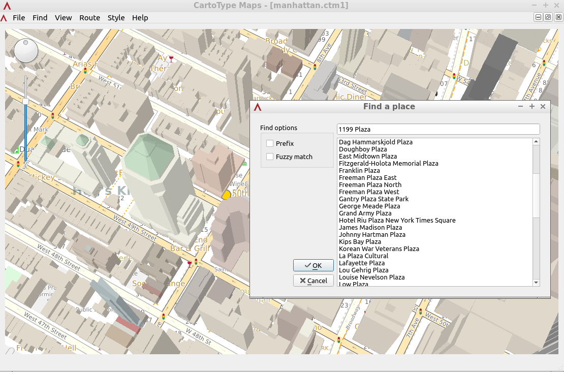
for Windows, Macintosh and Linux
CartoType Maps is a multi-platform desktop application for viewing maps, calculating routes, finding places, creating map images, and adding your own map data. It demonstrates the main features of the CartoType library. It comes with some sample maps. If you like, you can download extra maps, or make your own. We also offer a custom map creation service. Please contact us to discuss your requirements.
The current version was built from CartoType 8.8-28-g6975bf8d5. The source code of the Maps App is available under the MIT license from the CartoType public repository.
If you need to open more than four maps at once on Linux or the Macintosh you may need to increase the maximum number of file handles allowed. On the Mac, the command 'sudo launchctl limit maxfiles 64000 524288' is one way to do it; the effect lasts until the computer is next rebooted or powered down.
When you open the Maps App it restores the map windows that were open during the previous session with their states including position, scale, rotation and perspective.
You can create and edit lines and polygons:
- Double-click starts a new linear object OR select an existing object; when selecting an object
the action selects an existing point if near enough, otherwise creates a new point. - Shift-double-click starts a new polygonal object OR selects an existing object if near enough in
the same way as plain double-click. - Escape terminates editing the current object.
- Backspace deletes the last point if there are more than two (for a line) or more than three
(for a polygon). It then terminates editing the current object. - Delete removes the current object, asking for confirmation first.
- During editing, the length or area of the current object is shown in the status bar at the bottom
of the window. - Long lines may appear as curves, because they are inserted into the map as great circles.
The Windows Maps app

Download the Windows CartoType Maps app. It's a 228Mb zipfile. To install the application, extract the top-level folder, which is called cartotype-maps-app-windows, and put it anywhere suitable on your hard drive. Inside the top-level folder you'll find three folders:
- CartoTypeMaps-Win64: this folder contains the 64-bit version of the application CartoTypeMaps.exe
- sample-maps: some sample maps which you can load into the application
The standard style sheet standard.ctstyle is in the CartoTypeMaps-Win64 folder.
Please run the executable file CartoTypeMaps.exe from its current location. You can move the entire cartotype-maps-app-windows folder anywhere you like, but inside it, you should leave the structure as it is so that the executables can find the libraries and data files they need. The Windows Maps application should run on any 64-bit version of Windows from Windows 7 onward.
If you like, you can set up an association between the .ctm1 (CartoType map) extension and the Maps App. If you choose to do that, you can open .ctm1 files in the Maps App by double-clicking on them.
If you need to uninstall the Windows Maps app, just delete the cartotype-maps-app-windows folder and all its contents.
You can also evaluate CartoType using Qt by building the Maps App yourself using the Windows evaluation SDK and the Maps App source code.
The Mac OS Maps app

Download the Macintosh CartoType Maps app. It's a 247Mb .dmg file. To install the application, double-click the .dmg file, which will mount it as a drive. You can then either run the application directly from the .dmg file by double-clicking on CartoTypeMaps, or you can copy CartoTypeMaps to anywhere else you like, such as the Applications folder. You will also see two other folders:
- sample-maps: some sample maps which you can load into the application
- style-sheets: the standard CartoType style sheet, for reference (technical note: the app also has its own copy inside the bundle; it is duplicated here for ease of access)
If you need to uninstall the Macintosh Maps app, just delete the .dmg file and any copies of CartoTypeMaps you have made.
Troubleshooting: if after you have downloaded the Macintosh Maps app you get a message saying that the file is damaged and can't be opened, don't panic. The file is fine but you probably need to adjust your security settings: go to System Preferences; select Security and Privacy, then the General tab; click the lock icon and give your password; enable 'allow apps downloaded from anywhere'.
The Linux Maps app (built for 64-bit Linux/x11)

Download the Linux CartoType Maps app. It's a 247Mb zipfile. To install the application, extract the top-level folder, which is called cartotype-maps-app-linux, and put it anywhere suitable on your hard drive. Inside the top-level folder you'll find two folders:
- CartoTypeMaps-Linux-x64: this folder contains the 64-bit version of the application, with a shell script to run it
- sample-maps: some sample maps which you can load into the application
The standard style sheet standard.ctstyle is in the CartoTypeMaps-Linux-x64 folder.
You can run the application by double-clicking on CartoTypeMaps-Linux-x64/CartoTypeMaps.sh. That file is a script which sets the library paths and then runs the actual executable. Please run the executable files from their current locations. You can move the entire cartotype-maps-app-linux folder anywhere you like, but inside it, you should leave the structure as it is so that the executable can find the libraries and data files it needs.
If you have any trouble running the Linux CartoType Maps app, please let us know. If the app won't run at all, run CartoTypeMaps.sh from a shell window and tell us what, if any, errors are reported.
If you like, you can set up an association between the .ctm1 (CartoType map) extension and the Maps App. If you choose to do that, you can open a .ctm1 file in the Maps App by double-clicking on it in the file manager or typing its name in a command window.
If you need to uninstall the Linux Maps app, just delete the cartotype-maps-app-linux folder and all its contents.

