
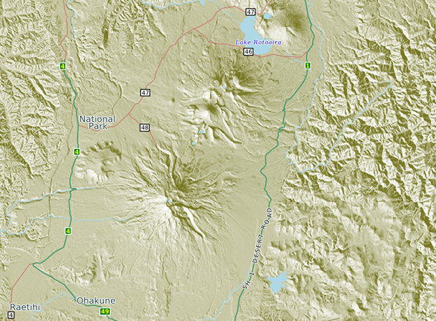
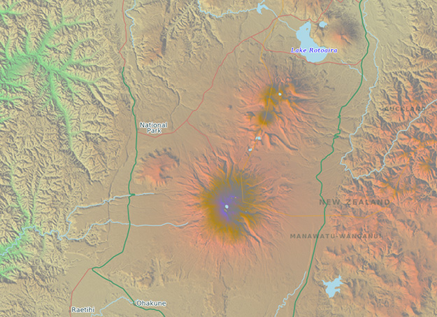
CartoType can show terrain on a map in various different ways:
height coloring: using different colors for different heights. Colors can be blended or drawn as distinct steps. All this is controlled using a height ramp in the style sheet.
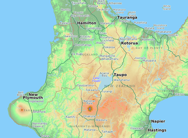
height shading: drawing the terrain as if lit by an imaginary sun. Any color can be used for the shading. Here we use a greenish gray.
a combination of coloring and shading. The shading is drawn on top of the height coloring.
CartoType terrain maps can be smoothly scaled and rotated, just like other maps rendered by CartoType. We can create maps for you from free open-source data or from commercial sources. If you prefer to create your own maps, you can use CartoType's data conversion tool, and we can help you to set up a tool chain for your particular needs.